In the wake of the killing of the far right influencer Charlie Kirk, the right wing has revealed the truth about its attitude to free speech. The hypocrisy of the right on freedom of speech was there all the time, but their response to the killing of Charlie Kirk has exposed it plainly for all to see. The right is only opposed to cancel culture and restrictions on freedom of speech when they are restrictions on their ability to be abusive, insulting, and threatening towards minorities and anyone else who stands in their way.
Over in America, things are getting increasingly febrile, and as, what happens across the Pond generally comes over here sooner or later, we can not afford to be complacent. This week, JD Vance has given his support to a far right campaign to harass, cancel, intimidate and sack anyone the right deems not to have sufficiently mourned the killing of Kirk or who has dared to quote Kirk’s own words as evidence that the newly canonised saint of the American MAGA movement was, in fact, a racist, a misogynist, a transphobe and an extremist whose views were until recently far beyond the bounds of political respectability. No one can be permitted to criticise the Patron Saint of Republican Intolerance or to cast doubt on the halo bestowed upon him since his murder.
The US State Department has announced that it will use AI to trawl the social media accounts of foreigners applying for visas to go to the USA and will deny them to anyone that the Republican-run State Department considers to have ‘mocked’ Kirk’s murder. You can be quite certain that the definition of ‘mocked’ will be extended to include any criticism of Kirk or any failure to worship at his shrine.
The motivations of Kirk’s killer remain murky, but Trump’s allies have rushed to link the killing – even although they have no real real evidence – to what they claim is a coordinated left wing “terror” movement that supports political violence. They claim that this supposedly coordinated and organised “terror” movement is funded by progressive and liberal charities. This conspiracy theory has the backing of the American Government and has led to fears of a draconian crackdown on free speech.
America is, and always has been, a violent country, and both those on the left and the right have committed acts of violence. But it remains a fact that most victims of politically motivated violence in the USA are attacked by those on the right. The data show that most political violence in the USA is committed by those on the right. Excluding 9/11, figures from Time magazine show that of the 620 politically motivated murders committed in the USA since 1975, 63.0% were perpetrated by those on the political right, and just 10.5% by those on the political left. 23% were carried out by Islamists, 1.3% by foreign nationalists and most of the rest by those whose motives were unclear.
Colin Clarke, senior researcher at the Soufan Center focusing on domestic and transnational terrorism, told Time that the data show a clear disparity in lethality between left and right when it comes to political violence. He said:”There’s no question that, if you look at the numbers in terms of lethality, it is the far right that’s been far more lethal—Tree of Life, the El Paso Walmart attack, the Buffalo supermarket shooting.” Each of these attacks was committed with extremist, white-supremacist motivations. Prior to 9/11, the worst terrorist attack on American soil was the Oklahoma City bombing in 1995, carried out by far right white supremacist and conspiracy theorist Timothy McVeigh.
However Trump’s speech in the aftermath of Kirk’s murder made no mention of right wing political violence, even though just forty days before Kirk was killed, Melissa Hortman, a Democrat lawmaker in Minnesota was shot and killed with her husband and another Democrat state senator was shot and wounded along with his wife. The perpetrator was a MAGA devotee of Donald Trump. Asked about Hortman’s murder, Trump claimed he was “not familiar” with the case.
Republicans grieve the loss of Kirk and demand that everyone else grieves for him too, but for the most part they have ignored the violence against Democrats, including Hortman’s assassination, the arson attack on the home of Josh Shapiro, the Pennsylvania governor, the violent assault on Paul Pelosi, the husband of former speaker Nancy Pelosi, and a thwarted plot to kidnap the Michigan governor, Gretchen Whitmer. The attack on the 81 year old Paul Pelosi, who was struck on the head with a hammer by a far right intruder who was looking for Nancy Pelosi, was met with widespread mockery and derision from the right. Speaking to a TV audience days after the attack on Pelosi, a grinning Charlie Kirk called for the attacker to be released from jail and said: “If some amazing patriot out there in San Francisco or the Bay Area wants to really be a midterm hero, someone should go and bail this guy out.”
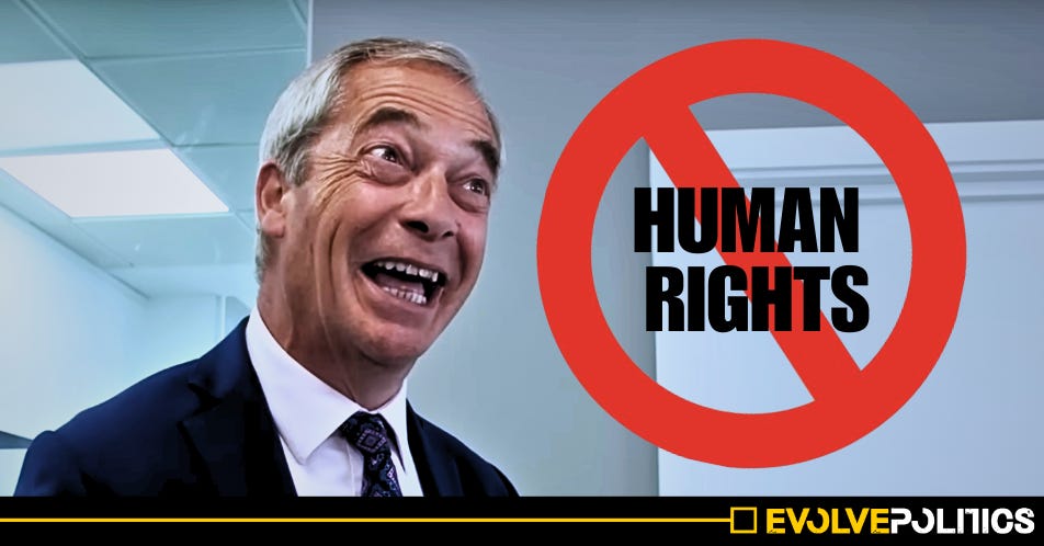
The US Republicans, like Reform UK and the Tory right here, are only interested in freedom of speech for themselves. What they really want is to be able to make racist, sexist, homophobic, transphobic or other bigoted comments without fear of any consequences. They are very keen to censor or silence anyone who criticises the sacred cows of the right, whether that’s Charlie Kirk or their sanitised, indeed, whitewashed, view of history. Don’t let it happen. Stand up for real freedom of speech, even if you have to hold your nose when you apply it to those you vehemently disagree with.