 |
| Our starting point was Werrington Church and our just-under-five mile route took in fields and lanes in two river valleys, those of the Tamar and one of its tributaries, Tala Water. |
 |
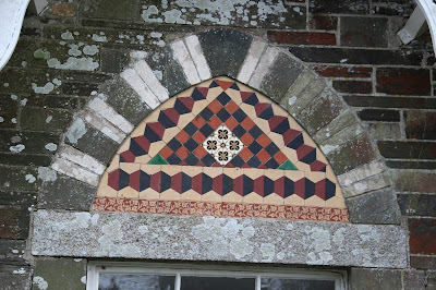
| A tiled panel on the wall of the lodge to Werrington Park. I don't think it signifies anything other than being attractively decorative. |
 |
| A plaque that piqued our interest. Keynotes Education? Turns out that it was, quite simply, the business address of an educational supplies firm. But what a nice place to work. |
 |
| A Silver Birch growing out of a dead Hazel stump. It's interesting what the drive for survival produces. |
 |
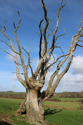
| I just can't walk past an old oak tree without wanting to tie a yellow ribbon around it. |
| After a little scrambling from the road, I managed to get this shot of part of the Bude Canal as it was taken over Tala Water in an aquaduct. The canal was built in the 1820s to carry sea sand and lime inland for use as fertiliser and the original canal system spanned 35 miles reaching just outside of Launceston. The canal closed in 1901 when competition from the railway, bringing cheap manufactured fertilisers, made it uneconomical. Today, roughly 2 miles of canal remain filled with water and make a very nice waterside walk from the centre of Bude. At this part of its route, it is reduced to a barely discernible indentation. |
 |
| St Martin of Tours taking a tour around the outside of the church? |
 |
| A lofty but rather bare interior. There are, however, some very interesting stained glass windows but the photographs I took didn't come out well. |
 |
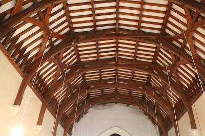
| A fairly typical but rather featureless Victorian barrel ceiling. Nice carpentry but a few carvings would make it more interesting. |


1 comment:
I lived in Polapit Tamar House for 2 years,2002-2004, having a lease of the main house. That was before it was split up. A beautiful house, largekly ruined by a rogue farmer whose father bought it for its attached land in the late 1960s.
Post a Comment