 |
| The route' looking quite innocuous in 2D. Much more 'bumpy' on the ground. |
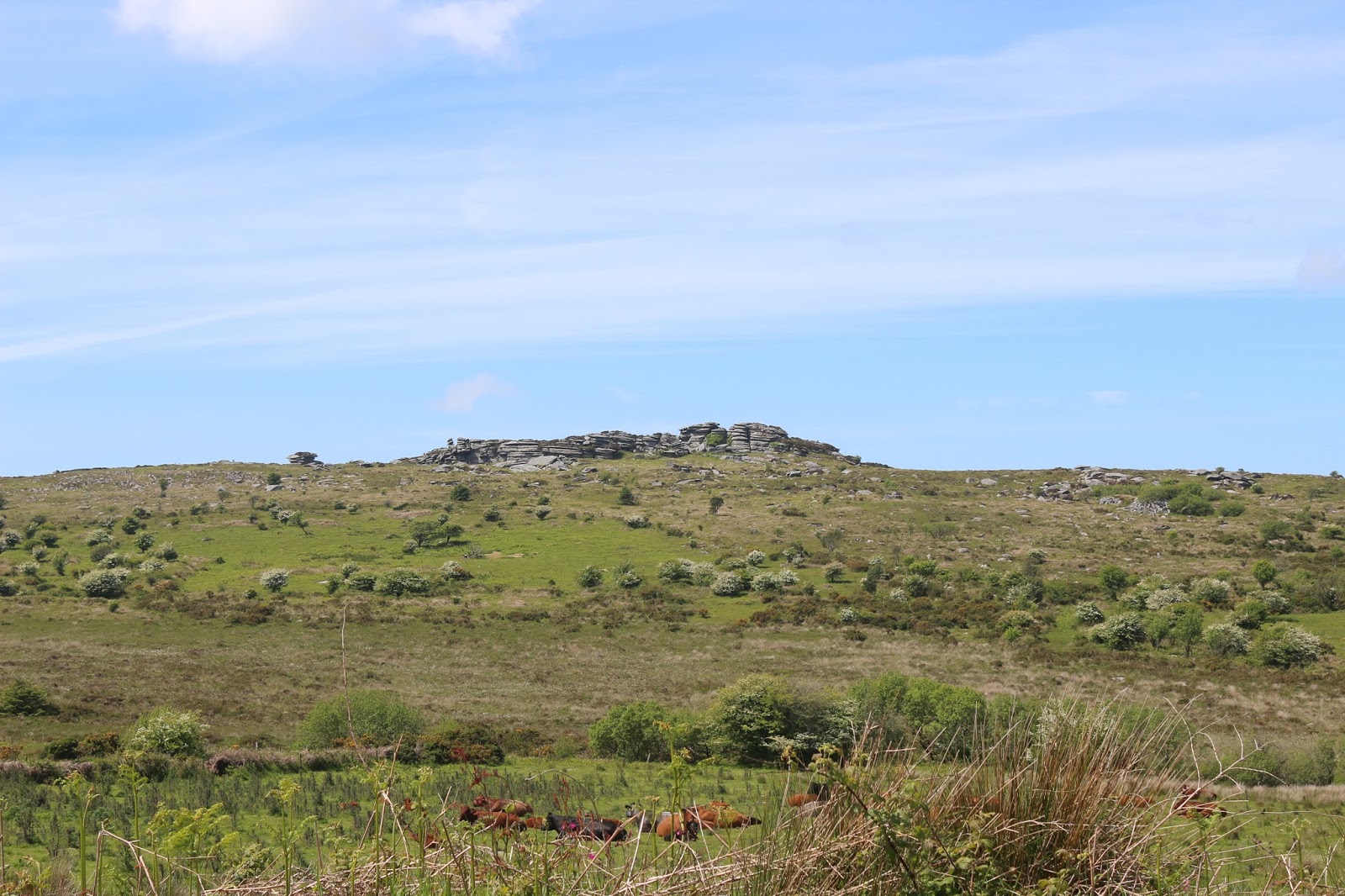 |
| The view north from our starting point - Hawk's Tor. We would be walking around it not over it. |
 |
| Still plenty of bluebells around, possibly because of the relatively high elevation and lower temperatures putting the plants a little behind other areas. Whatever the reason, it was a joy to see them in the dappled sunshine under the trees. |
 |
| Talking of trees, here's a rather fine specimen of a hawthorn in full flower. May in June. And in the distance a goodly number of wind turbines. My mind supports their use but it will take a long time for my heart to accept what they do to the landscape. Try as I might to think otherwise, I still find them very intrusive. |
 |
| An unusual sight on Bodmin Moor, a very large patch of very large rhododendrons. Thuggish, invasive plants though they are, they do add a splash of colour at this time of year. |
 |
| Somewhere up here our map shows Elephant Rock. Is this it? Actually, no, it's not. But the 'real' one is even less like a pachyderm than this one. |
 |
| Arthur's Bed, apparently. Casting aside this dubious connotation, this is a good example of a granite tor. Once covered in soil, it has weathered down to a bare outcrop of the hard stuff - just waiting to be worked. |
 |
| Number 28 of what or for what? Under a tree in the middle of not a lot. |
 |
| It's not often that you come across an Iron Age hut on a walk. The area is replete with hut circles, animal pounds etc from the Iron Age and this is a reconstruction of a hut done by a local farmer a few years ago. Trewortha Farm is very isolated but has a centre which is used by school groups to give them a taste of moorland living. We went to a talk by the builder of this hut a few years ago and it was fascinating to hear of the methods he used. It was all based on the dimensions of hut circles in the same field and was essentially trial and error. In the end, what came out was what produced the most stable structure. |
 |
| To the left is the old mineral tramway/railway which took stone off the moor some 20 miles down to Looe. To the right is a loading ramp where stone was loaded wagons. |
 |
| There were small granite quarries in the area (in fact, there is one that is still working) but most of the stone was worked where it lay or where it was just under the surface. Most of these stones show signs of being worked in some way - drill marks, perhaps, or, as in the one in the foreground, drill holes. This is a bleak exposed place and all of the work would have been done in the open in all weathers. It has been estimated that a couple of hundred men would have been employed in the mid 1800s. Not a job I'd like. |
 |
| These are the remains of a blacksmith's shop, essential for sharpening drills and other tools of the trade. |
 |
| Kilmar and King's Tor from the mineral trackway. |


