Showing posts with label Portreath. Show all posts

Monday, 13 April 2015

Portreath Break: April 2015: Part 5 (Final)

Oops, almost forgot to finish off the posts relating to our Coastal Footpath walking extravaganza from Portreath (more accurately, Illogan Downs). So, for the sake of completeness, here are the last two days of our yomping around.
Both walks were to begin and end at Mawgan Porth, with the first day's walk heading East from Porth Bay (4.8 miles) and the second day walking West from Constantine Bay (8.3 miles). There was one deviation from our original plan when the bus from Mawgan Porth to Porth didn't turn up so we starting walking from Mawgan Porth in the hope that we'd pick up a bus at the end - we did. Two more days without rain and two more days of fantastic views. Strange to think that the next time we'll be near the sea will be at the other end of the UK on the Orkney Isles - and that's in a few days. Yippee!
Mawgan Porth beach with the tide coming in.
Unknown beach just west of Mawgan Porth - I can't be bothered to check it out on the map. You do it.
Herring Gull launching into flight.
This Dunnock does not look happy. It's giving us the evil eye. Oi, get orff my patch.
Oh look, another Cornish beach. This one is Constantine Bay. Oh look, the sky is no longer blue.
Another stone wall. This one reflects the type of stone (actually slate) available locally. The herring bone pattern is quite common where there's lots of slate - around Tintagel and Delabole for example.
 
Bedruthan Steps, just East of Mawgan Porth. A tourist magnet. Bedruthan was a mythical Cornish giant rather than a place.
A fretwork panel we came across just outside of Mawgan Porth. Not sure what it signifies but it was interesting to come across. Note added after a little research: apparently it functions as a place for collecting items dropped 'on the way' with the hope that someone will claim them. Nice idea but I couldn't see the £50 note I'd dropped.
  

Wednesday, 8 April 2015

Portreath Break: April 2015: Part 4

Motto for the day: don't take distances in guide books at face value! We set out to complete the remaining gap between Godrevy and St Ives, which would mean that we would have walked from Newquay to Helford, just past the Lizard. A distance of some 135 miles and our longest continuous stretch of the Coastal Footpath. Just for the record, the total distance of this (from the Devon/Cornwall border north of Bude to Mountbatten, across the water from Plymouth) is 303 miles. I've no idea how much we've covered so far but it's got to be well on the way to 200 miles.

Back to today. A day of two walks really with lots of beaches and sun. Walk 1: taxi from Hayle to Godrevy and then a 5 miler along Hayle Towans back to Hayle. Walk 2: bus from Hayle to St Ives and then a 7 miler back to Hayle. Not too far off 12 miles for the day, against an expected 9 miles from the guide books. Yes, our feet were a little sore at the end so we celebrated with fish and chips from Pool.
From our customary support-the-local-economy start, we headed to the beach. Godrevy Lighthouse in the distance.
And here's the beach we walked along - all three and a half miles of it. Mostly on the sand (hard going) but with some stretches on the footpath through the dunes.
45 years together in a couple of days.
Nothing special but I did like the reflection of the gulls in the pool.
They take their pasties seriously in these parts. The lunchtime queue outside of Philps in Hayle. By the reckoning of some, the best pasties in Cornwall. I think I agree but I'm always open to being persuaded otherwise.
The starting point of our second walk - St Ives harbour.
A colourful RNLI lifeboat on the quay at St Ives. It's ridiculous that such a vital function is carried out by a charity.
A couple of miles further on and looking back across Porthminster Beach to St Ives.
The line across the centre of the photograph is pretty much the length of our morning walk from Godrevy to Hayle.
We like pottering around graveyards but sometimes we come across something that just takes our breath away. This is one such instance: consider the tragedy of these parents as they buried one child after another.
And for those kneeler lovers, St Uny's church at Lelant had an admirable display to delight the eye.
St Uny's at Lelant. Not a lot is known about St Uny and he/she seems to be one of the many holy people who wandered all over Cornwall in the early days of Christianity. Over the years the church has battled against the encroachment of the sand dunes. Much less of a problem since the dunes have been stabilised by planting marram grass.

Tuesday, 7 April 2015

Portreath Break: April 2015: Part 3

A shorter walk today but one that filled in a gap on the length from Newquay to St Ives. Just over four miles, starting in Porthtowan and ending in Portreath. Guess what? Another sunny day, no rain, no mud, no heavy raingear to wear - we could get used to this. In fact, the weather forecast is good for the rest of our week down here.
After our customary refreshments (we like to help the local economy by supporting coffee shops whenever we can), it was a bit of a scramble up the footpath from the beach.
Did I say beach? Here's the first of the day - Porthtowan Beach, looking due east.
Same spot, looking west. Those with keen eyes will be able to make out the white point of the lighthouse at Godrevy (far right in the far distance).
 
A large part of the walk is close to the perimeter fence of the Nancekuke MOD property. Some say that the fence is a distraction but we didn't find it so. We were looking seawards rather than inland. 
This was an area of intense mining activity in days of yore. In the foreground is the capped shaft of Wheal Kitty. It is, as are many of the old mine shafts, home to many varieties of bat. On the cliffs in the distance you can just make out the engine houses and stacks of the mines on the cliffs close to St Agnes. It won't be too long before this part of the world is marketed as 'Poldark Country'. Bits and pieces turn up in the new series which is a jigsaw of locations all done up to look like West Cornwall.
There were a few steep ups and downs on this walk. Here we are going down and then up Sally's Bottom. Yes, really. Bottom in this context is an old mining term and why pass up on a double entendre?
I mentioned the MOD at Nancekuke. One time an airstrip for RAF Coastal Command in WWII and then an outpost of the Microbiological and Chemical Warfare Research Laboratory based at Porton Down in Wiltshire. Strongly rumoured to be the site of the manufacture and stockpiling of such sweetmeats as Sarin and other mustard gases. I'm wondering whether this structure has anything to do with this.
Is this the most isolated bus stop in Cornwall? We waited three hours for a 547 bus but nothing turned up.
Another up and down. Not as bad as it looks. The MOD fence can be seen to the left of the path.
A not-very-good photograph of a male (on the left) and female (on the right) stone chat. Not very good, perhaps, but I was pleased to get them both in one shot. Not planned, of course, it just turned out that way.
 
Another not-so-good photograph but this is significant as it is the first butterfly shot I've taken this year. It's a Red Admiral, probably one that overwintered, and it lead me a merry dance before it stopped for long enough for me to take just one shot.
It's not often that we come across reptiles and here's a slow worm wriggling across our path.
Our destination: the beach at Portreath.
It's hard to believe that for several years either side of 1800, Portreath was the largest copper exporting port in the world. There was a series of inner harbours providing shelter for the ore carrying ships (most of the copper was smelted in South Wales - copper out and coal back). The new houses in the middle were built on what used to the ore wharves and, if you look carefully for the diagonal line in the background, you can just make out the inclined plane that brought ore down in trucks from the surrounding mines.
A short drive and we had a beach-side coffee at Trevaunance Cove near St Agnes (more support for the local economy!). A nice beach but spoilt by the number of off-lead dogs there were running around. I counted 15 roaming at one time and I think 7 of these are captured in this photograph. Grumpy, grumpy, grumpy but it shouldn't be like this.

Monday, 6 April 2015

Portreath Break: April 2015: Part 2

A sunny day and a great day for a coastal walk. Today we tackled a 9.5 miler from Crantock, just outside of Newquay, to Perranporth. Sun, beaches and views all the way, with absolutely no clouds to be seen. Although the local bus service is somewhat depleted after the recent demise of Western Greyhound, we were fortunate to get a bus from Perranporth to Crantock for the start. Oh yes, I almost forgot, we had a bit of unexpected excitement at the end.
In the graveyard at St Carantoc's church in Crantock. Just one example of a lichen-encrusted headstone. St Carantoc was a student of St Patrick and came to Cornwall around the sixth century. Carantoc - Crantock = obvious really.
St Carantoc's church. When I first saw it, I thought 'bloody Victorians, they've desecrated a church by sticking an odd bit on the end'. Not so, the strange shape is due to the fact that the east end (right side) was originally a college for priests, dating from Edward the Confessor. The smaller church to the left (sad that the tower has been rendered in featureless cement) was used by the lay worshippers, whilst the college folk had the posher, more spacious end. During the Reformation, the college was closed down and the interior stripped. That, and the rest of the church, fell into disrepair over the centuries due to lack of funds. (the church history is really interesting and worth reading) and what money there was had to support a lot of clergy.
Cometh the hour, cometh Uncle George. Not really but in 1894, George Melford Parsons (come on, he could be a relation. Unlikely I'll admit, but not impossible) was appointed vicar and he set about restoring the interior of the church and the college end. Wonderful carved pews in the choir, an incredible carved rood screen (all the work of Violet Pinwill and her carvers from Plymouth - we've seen her work in many churches in Devon and Cornwall and it's uniformly amazing) and some very good stained glass windows. Not so much 'bloody Victorians' as 'hooray for the Victorians'. An unexpected gem of a church - if you get a chance, do go visit.
Not that many birds nesting on the cliffs but there were a few fulmars. The female on the left is, I think, sitting on an egg (they lay only one) and the male is feeding her with some regurgitated fish. Not something that Mrs P and I would do.
How can you tell they are fulmars? I'm glad you asked. Stockier necked than a gull and they fly with very stiff wings. But the give away is the black tube on the top of their beaks (take another look at the pair above). This tubenose arrangement is very useful when it comes to diving etc - look it up on Google and be amazed.
The beach at Crantock, the first of the three we came across. If only Cornish weather were better for longer; if it was the beaches would be world-beating destinations. As it is, they are pretty good anyway.
Just a cliff top stone wall but what a stone wall. Bedecked with dangly lichens, a joy to behold.
Beach No 2: Holywell Beach. Another goodie.
What are these? Not too sure but, as they were over a tall fence and on the edge of a military base, I assume they are some sort of surveillance/listening device. Call me silly but I did make a few subversive comments to see if anyone came out and beat me over the head with a big stick. But no such luck.
Beach No 3: Perran Sands. About 2 miles long, with our destination right at the end. Note that the tide is starting to come in. The relevance of this will become apparent soon.
Our footprints in the sand. We wuz there.
About half a mile from the beach and a tough slog to get there (walking up steep hills of sand is not fun at the best of times but after 7 miles it's painful) lies St Piran's Oratory. Dating from the sixth century, the myth says that this is where the patron saint of Cornwall first preached. It was buried in the sand for centuries and was uncovered in the late 1800s. It became a shrine and was damaged by the many tourists who visited. To protect it, the Edwardians encased it in concrete and this is now being gradually removed. We've done it but, to be honest, I don't think it was worth the hassle of getting there.
I mentioned that the tide as coming in and it did. It was a close run thing to get around the rocks to the safety of Perranporth Beach. But we get wet feet in the process................
...........and wet trousers!

Saturday, 4 April 2015

Portreath Break: April 2015: Part 1

Hooray, it's walkies time again with a week down west to fill in some gaps on our Cornish Coastal Footpath circumnavigation. This time we are renting a cottage just outside of the north coast harbour village of Portreath.  We arrived fairly late on in the afternoon so only had a chance for a brief scout around. But the weather was on our side: it was almost warm. Great for those down here on holiday but I must admit it was a bit of a shock to be amongst so many people. We are used to out-of-season conditions when there are few other bodies around and we don't have to wait to get served anywhere. Oh hum, grin and bear it, Parsons, grin and bear it.
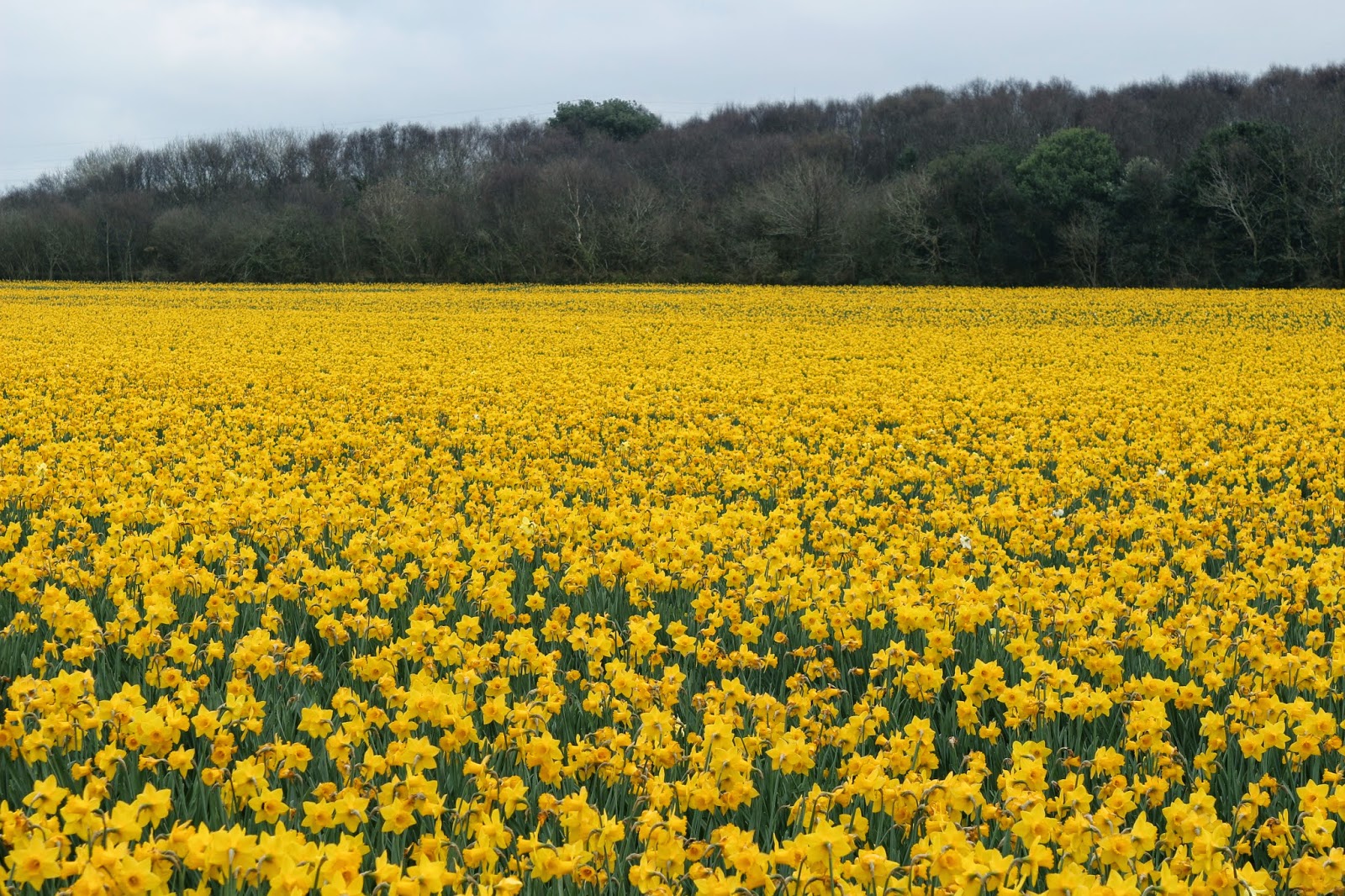
A host of golden daffodils. I think these are due for lifting and selling as bulbs rather than being picked for their blooms.
Wall to wall flowers.
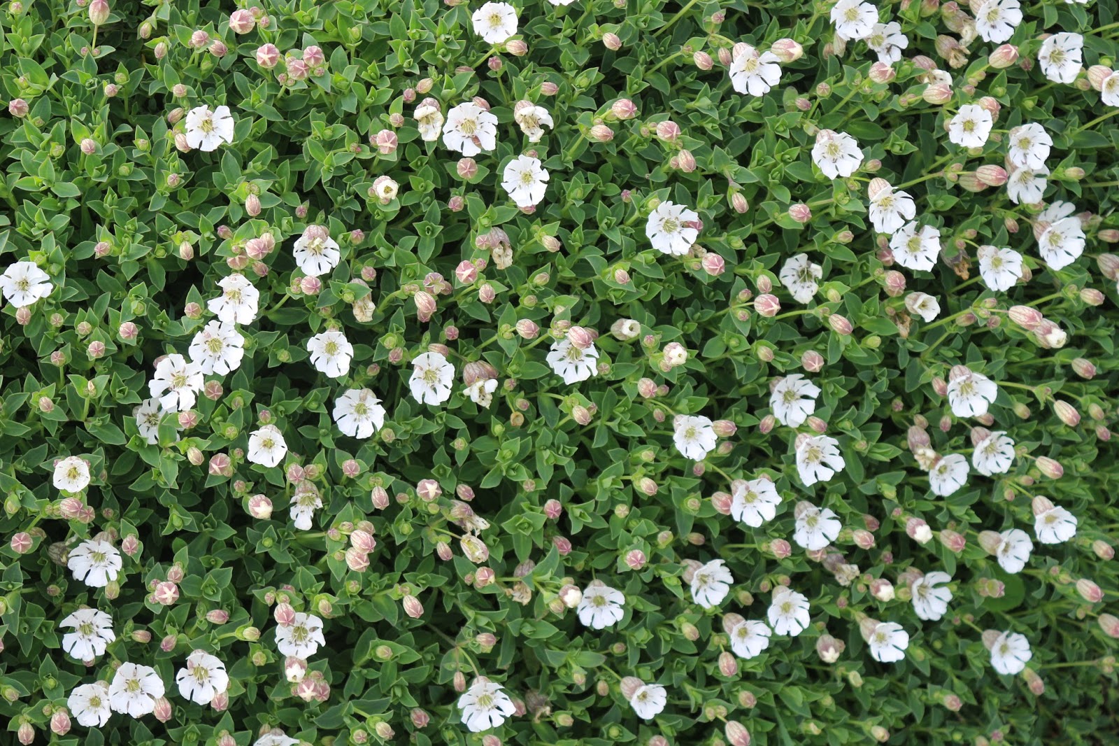
A wall of flowers - white campion in this instance.
I thought you said we'd see some seals?
Down here, dear, down here.
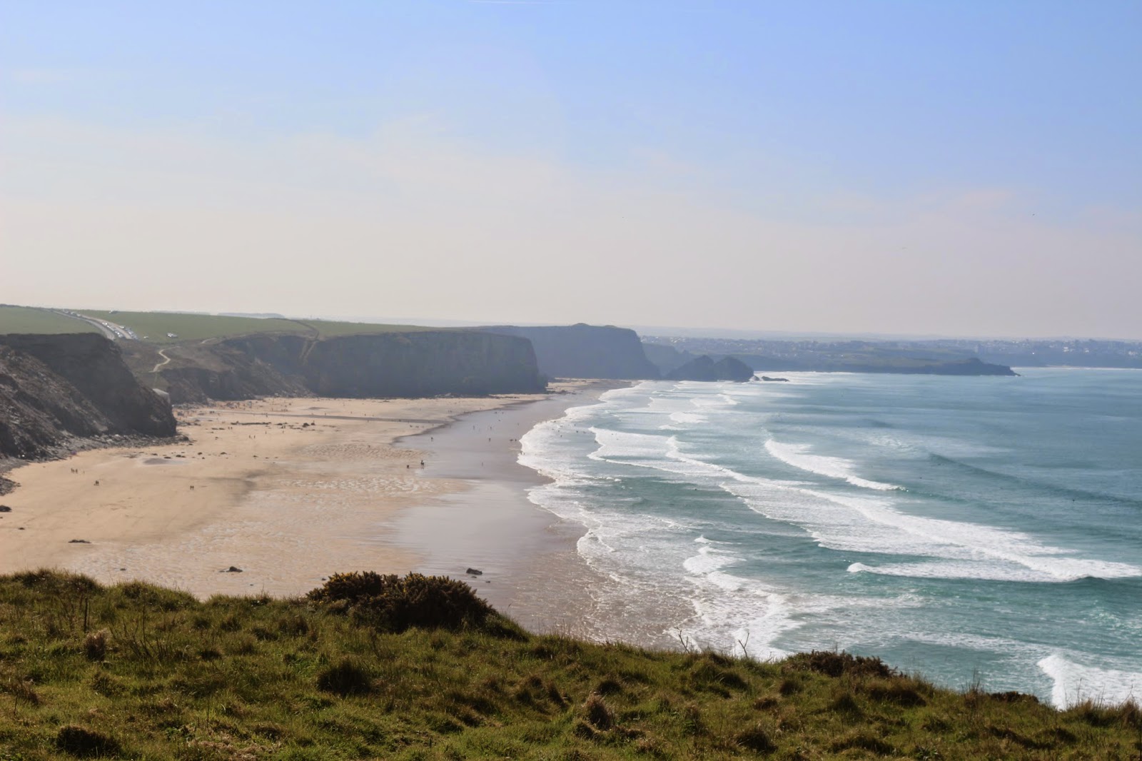
The coastline looking due north west. We've walked almost all that you can see.
Looking south west towards St Ives.
Godrevy Lighthouse off Godrevy Point. It's no longer manned but is controlled automatically from somewhere in the Home Counties.
Can you ever tire of looking at the sea and waves crashing on rocks?
What a disappointment. We spend ages waiting for these two children to get soaked by a wave but they didn't. A bit of a splash but that's all.
I think this woman was trying to get rid of her dog. She kept throwing a ball out into the surf but the beast kept coming back with it. Next time, Mrs, get a dog that can't swim.
 
One of the breakwaters at Portreath showing the navigation markers. Unfortunately couldn't walk out to the end as it is still unsafe from last year's storms.