 |
| It's called the Hall Walk because it started as an ornamental from Hall Manor, just above Bodinnick, to Penleath Point. It dates back to at least the 16th Century and later the path was extended to Polruan. The full length of this is now known as the "Hall Walk" but originally the name would have probably just referred to the promenade to Penleath Point |
 |
| The route was jsut over 5 miles and started and ended in the car park above Polruan, possibly the steepest village in Cornwall. The walk is described as 'moderate' in some guides but, in my humble opinion, some parts of it would merit being described as 'strenuous' - just look at the profile. |
 |
| This photograph from our starting point shows our route almost in its entirety. Tracing the edge of the estuary, then crossing the Fowey via the Bodinnick ferry, walking back through Fowey and then taking the foot ferry across to Polruan. |
 |
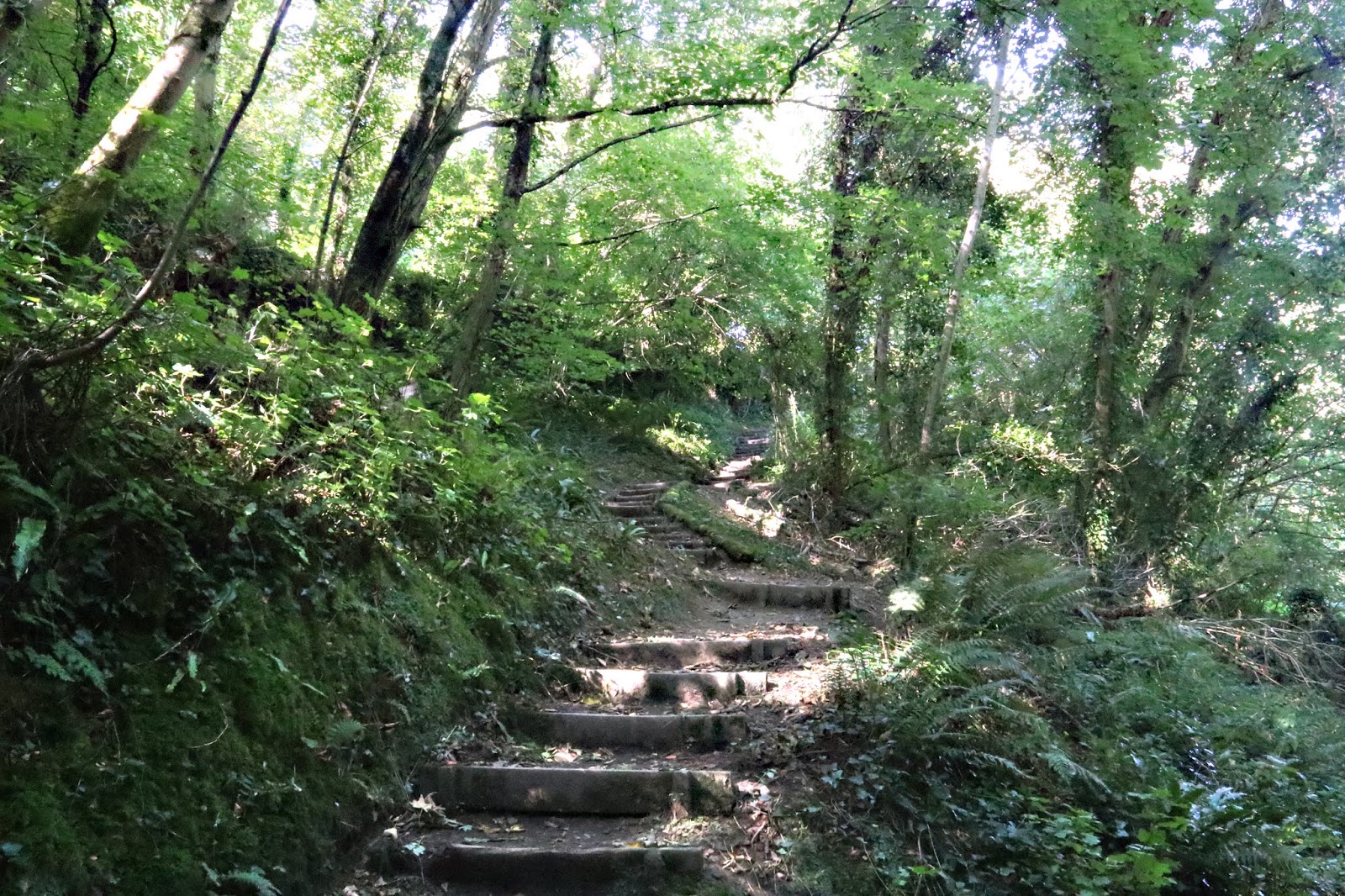
| A fair stretch of the walk was in woodland, made very pleasant by the sunlight dappled shade. |
 |
| Steps, of which there were many - up and down. |
 |
| The creek we walked up is called Pont Pill and is thought by many local people to be part of the inspiration for Mole, Ratty, Toad and Badger's adventures in The Wind in the Willows because author Kenneth Grahame holidayed in nearby Lerryn. Of course, the locals in Lerryn claim that their creek was the inspiration. |
 |
| Despite its tidal location, the quay at the head of Pont Pill became important for trade between farms of this area and other coastal communities. Imports were roadstone, bricks, coal, manure and flour; exports were grain and logs. The name "Pont" refers to St Willow's bridge at the top of the creek: the Cornish word for bridge is pons but in Old Cornish it was pont. 'Pill' is the dialect word for creek. |
 |
| The location of Fowey close to the mouth of the estuary made it vulnerable to attack by sea. The town was destroyed by fire during invasions by French, Spanish and other pirate ships in 1330, 1380 and 1457. Following the 1380 raid, blockhouses - the ruins are still there - were built on either side of the estuary mouth. A chain spanned between them that could be raised to close the channel in times of need. The chain was later confiscated by the King after boats from Fowey and Polruan were convicted of Piracy, a common enough occupation in these parts in those times. |

 |
| The large castellated building next to Fowey church is Place House. Place House was built around 1260 by the Priory as their headquarters within Fowey and soon after became the ancestral seat of the Treffry family. Sir John Treffry fought under the Black Prince at the Battle of Crécy in 1346, and captured the Royal Banner of France. In 1457, French marauders besieged the house, but met with Dame Elizabeth Treffry who gathered men together and poured melted lead, stripped from the roof, upon the invaders. The house incorporated fortified elements designed to repel any attacks including what was described in Tudor times as "a right fair and strong embattled tower". The building still includes 15th and 16th century fabric but was largely rebuilt in the 18th and 19th centuries. |
 |
| There has been a ferry link between Fowey and Polruan for centuries. The road journey, via Lostwithiel, is still a slow, long and winding one and takes the best part of an hour. For most of the period that the ferry has been running, the ferry itself was a rowing boat. Passengers could save the one penny return fare and travel for free if they did the rowing themselves. Nowadays the cost is £2.30 per person, and saving money by rowing is not an option. |
 |
| An infra-red across into Fowey. |
 |
| Another from our starting point, looking up the estuary. |
No comments:
Post a Comment