Sunday 30 May 2021

Reflections at Cotehele

 Out for an evening walk around the Cotehele Estate. After a while, a theme emerged for the photographs I was taking - reflections. Which sort of fits in with the food for the soul that Cotehele provides.

We arrived just before a high tide, one of the highest that coincides with the full moon. The river was remarkably still, the tide was still coming in but very slowly at this point
From the reflection of the yacht's mast, you can see how still the water was
In the 19th century, as local industries boomed, Cotehele Quay would have been busy with vessels loading and unloading cargo. Crowded paddle steamers travelled upriver from Plymouth to see the orchards in blossom and small boats carried market-gardening produce for sale at Devonport Market. But that was yesterday. Today all is quiet.
A lone Mallard duck
The peace and tranquillity were shattered with the arrival of one man and his nautical dog.
The pond in the Upper Garden at Cotehele
The pond in the Himalayan Glade at Cotehele
A collection of boats and yachts at their moorings by the boatyard in Calstock

Monday 24 May 2021

Walking around the East Moor and the Halvana Plantation

 If we head further west into Cornwall, we have to turn onto the A30 and head over Bodmin Moor. On the left is a fairly large conifer plantation, the Halvana Plantation, that has always intrigued me. A couple of weeks ago we walked in the area and found out what it had to offer.

We parked on the old A30 at Week's Down (space for, perhaps, half a dozen cars) and took the footpath/track though the plantation onto the East Moor. We headed for Fur Tor, via some ring cairns and a stone row that we didn't find. From Fox Tor, we dropped down to Eastmoor Gate and then walked back through the plantation to our starting point. About 6.5 miles that I'd class as moderate - not easy but not difficult.
Due to the demands for timber (trench warfare, pit props for the mines) at the beginning of the 20th Century, Britain felt that it could not/should not rely on imports. Conifer plantations like Halvana Plantation were established to ensure a strategic reserve of timber. Of course, nowadays the demand for timber has decreased and forestry policies have changed.
An observation chair. But for observing what exactly? Fire? Birds? Hunting targets? Tourists? Brexiteers? Tories?
I mentioned above that forestry policies have changed and, whilst some plantations are gradually being replanted with native species, Halvana Plantation remains pretty much as it was intended to be. The interior of evergreen plantations generally have tendency to be dry dead places. The trees block out the light and the dense covering of needles suffocates the forest floor. But Halvana is, in parts, the complete opposite, with an endless carpet of moss creeping over everything, including up the trunks of trees. If you like green, this is place to come.
Out on East Moor, and we were heading for the hill straight ahead - Fox Tor. In the event, it wasn't quite 'straight ahead' as we had to work our way around a very boggy stretch.
A granite outcrop associated with a ring cairn on the way to Fur Tor.
The trig point on the top of Fur Tor, with views extending towards Plymouth Sound. I still can't come to terms with the negative impact wind turbines have on the landscape. I can make out at least 6 sticking up like white fingers.
Ah, the noble art of selfie taking.
Lichens growing on a hawthorn tree are a sign of fresh air. Luckily it's not uncommon in these parts.
This glass bottle has turned into a tiny biome, complete with plants growing inside it. Not quite the Eden Project, but special in its own way.
There are a few mine shafts that have been covered with metal cone frames. The Halvana and Foxtor mines at one time were worked separately but were later combined. Halvana mine was started about 1843, Foxtor possibly about the same time and the combined mines were worked until 1918. Only small amounts of tin and wolfram seem to have been sold. They were operated under the Halvana Fox Tor and Red Hill Tin Mining Company Ltd which was dissolved in 1883. The remains of the Halvana workings are now amongst the trees in the Plantation, the metal cones being the only visible sign of once must have been a bustling area.
The black stripe by the eye shows this to be a male Wheatear.

Friday 21 May 2021

It's Bluebell Time at Burrator

One of the best places to see bluebells locally are the woods just by Burrator reservoir. And we headed there with one of our walking groups this week. The weather forecast was abysmal and it certainly lived up - or down - to our expectations. Because of the lousy weather, I did not risk taking my usual camera but it was an ideal opportunity to see just how waterproof the casing for my mobile phone was. Although some of the images which follow are somewhat distorted by rain on the lens, the casing passed the test.

We began and ended at the Burrator dam and basically took the footpath around the reservoir, before heading for lunch at Sheepstor church. We then walked through Burrator Woods to Meavy and back to the starting point. My GPS clocked up a very wet 6.7 miles.
Hardly the best of views across the reservoir. There's nothing like a clear day for a walk.
The overspill from the reservoir framed by some rhododendrons.
Not a waterfall but water from the Devonport Leat discharging into a pipe and then running down into the reservoir. The Leat is was constructed in the 1790s to carry fresh drinking water from the high ground of Dartmoor to the expanding dockyards at Devonport.
A bluebell wood but not THE bluebell wood. But, with all the rain, it was tempting at this point to say "OK, we've seen the bluebells so let's get back to the cars". But we didn't.
Very wet but enjoying being out - and that's after about 10 minutes into the walk.
Dining al fresco. There's something oddly enjoyable about watching the rain splash into your mug as you are drinking your tea. And below, a babbling stream.
This is how I like my car parks on Dartmoor - completely empty. Only determined walkers go out in conditions like these. If I thought about it, I could be quite snobby about fair weather walkers. What do I mean? Could be quite snobby. I am.
A leafy track, somewhat obscured by rain drops on the lens. I think this was the original track leading from Longstone Manor and was once cobbled.
Longstone Manor is reputed to date from the 13th Century. It was tenanted until 1897. In 1898 the valley adjacent to the site was flooded to create Burrator Reservoir, during which part of the estate was also flooded and the main house abandoned. There are some vestiges of the house and farm buildings to be seen and a very rare 'wind strew' where crops were winnowed. Conditions weren't conducive to a wander around but here are a few granite troughs. All of them are micro-chipped as they are very desirable garden ornaments.
A welcome and dry venue for our lunch stop - Sheepstor church, with Sheepstor cross in the foreground. No photographs from inside the church as access to the main body was prohibited due to Covid measures.
What we came to see: the bluebells in Burrator Woods. Sadly looking rather weather beaten but still a delightful sight.
The same woods with our group gingerly making their way down the rather slippery path. The yellow splodge of paint on the tree in the foreground is a waymarker.
The fresh greens of the beech trees look rather mystical when captured through a rainy lens.
Yeo House, restored and looking good. The last time we came this way it was not in quite this state. The Wisteria above the porch is coming into bloom. The inscription 'IW 1610' refers to John Woolacombe, believed to have been a tin mine owner of Sheepstor parish.
Marchant's Cross, about which not a lot is known. Certainly medieval and probably located along routes that were once of significance, either for commercial or religious purposes. In fact, there is a theory that the name is derived from Merchant's.
Bluebells on a hedgerow on the lane into Meavy,
Part of the now redundant Drake's Leat, constructed in the late 16th century to tap the River Meavy from which it ran 17.5 miles to supply Plymouth with water. It began at a point now under water at Burrator Reservoir, from which its path now emerges some 10m lower than the typical reservoir water level. It was one of the first municipal water supplies in the country. The stone to the left is a Plymouth Corporation Water Works (PCWW) marker, dated 1917.
At the end of our walk, the view across the reservoir was a little clearer than when we arrived. And the rain had stopped, for a while at least. We could tell that the weather had been bad because there was no sign of the usually ever-present ice-cream van.
And below are two short clips of the water flowing down the overspill, the second of which is in slow motion. Why? Because I could.

Wednesday 19 May 2021

Walk on East Bodmin Moor

It's always a pleasure to walk with our friends J and A and we alternate the choice of route. This week, it was their choice and we headed up onto East (Bodmin) Moor. We were expecting winds, rain and mud and, as it turned out, we had neither of the first two and very little of the third. It's a part of Bodmin Moor that few people visit and, as for every other time we've been in this area, we came across no other walkers.

Our circular route started in the lane just up from the hamlet of Tregenna and from there we headed straight up to Fox Tor. From there, we headed to Carey Tor, via the East Moor ring cairn and Graymare Rock. Then we dropped down to Stonaford by footpaths and lanes. Tolcarne, Clitters, Newton and Trevague were the next points we walked through before we reached Tregenna and back up the lane to our starting point. We clocked 6.5 miles and, as the elevation profile shows, it had a few challenging stretches. Open moor, leafy lanes, footpaths and ancient tracks: what's not to like?
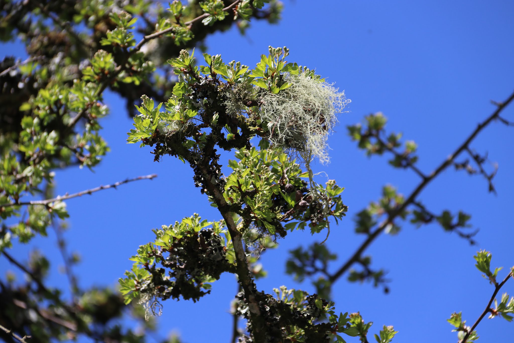
Apple blossom in the hedgerow. Whenever we come across these, seemingly miles from habitation, I always wonder how the seeds got there originally. An apple core tossed away by a farm or mine worker? Or maybe from a passing car?
The only other person we came across: a farmer out checking his cattle on a horse. Given the rocky terrain, this has got to be better than a quad bike. The perspective on this image does not really show how steep the land was at this point: he was just dropping off the top of Fox Tor. And that's why we were surprised that the rider wasn't wearing any sort of safety equipment.
A panoramic view to the south-west from Fur Tor.
The granite outcrop that is Carey Tor.
Carey Tor with a bronze-age hut circle in the foreground.
Tolcarne Farm: a granite gatepost slotted to take slats of wood to keep stock in or out.
Tolcarne Farm: granite mill trough, used for crushing apples for cider. It was probably horse-powered.
The track leading away from Tolcarne Farm and onto the moor.

This remote dwelling at Clitters still has no running water, electricity or internal toilet/bathroom. It cannot be let as a dwelling and can only be occupied for up to 10 weeks a year. It has been licenced to the Hazlewood family since the 1930s. The family are related to Kate Mackenzie who was the tenant at Stonaford Manor on the Trebartha Estate between 1927 and 1993. The Hazlewoods do not want any changes. This is an excellent solution for the conservation authorities, as the dwelling is retained in its original condition as a remote C18 farmhouse. unaltered and unspoilt. It is unusual to find a house of this type plan without extensions and alterations. It really has a great 'spirit of place' feeling and it would be wonderful to be able to see what it looks like inside.


An impressive love heart carved into the bark of a tree in the garden at Clitters. Who were CAB x IRB?  The letters and the heart were picked out in gold paint so does that signify that the carving was in celebration of a Golden Wedding anniversary? Let's hold that thought.
An interesting 19th century porch, incorporating some hefty pieces of slate.
Rear view of Clitters. The three upright pillars of granite were now functioning as posts for a washing line. It's doubtful that this was their original purpose. Were they part of a barn? To the left was a toilet/earth closet and what once was, by the looks of it, a piggery.
A dinosaur in the woods adjoining Clitters, with a granite marker in the front.
Was it a grave marker to Naomi, possibly a family pet? Seems a strange place to bury a body. But, in this remote part of Bodmin Moor, nothing would surprise me.
Even the lanes are a pleasure to walk along. Floriferous banks, dappled sunshine and no traffic.

There are a number of rivers that start in this part of the moor and run southwards to join the sea via the Tamar. I've marked our approximate position in red on the map above. We were at the 'top' end of the Lynher, which runs for about 20 miles before its estuary feeds into the Hamoaze, opposite the dockyard in Devonport. A couple of friends have recently traced the Lynher from 'source to sea' and Mary Atkinson has written of their travels in her blog. You can find it here and I can commend it to you.

And here we are crossing the upper reaches of the Lynher by way of a clapper bridge. The name 'clapper' is derived from the Anglo-Saxon word “cleaca” which means “bridging the stepping stones”, suggesting that the first clapper bridges might have been stone slabs laid across the top of existing stepping stones. Seems logical. And I finish with a short clip of a cuckoo we heard quite close to Clitters.